日本全国の錦絵・写真等を紹介する新しい電子展示会「錦絵と写真でめぐる日本の名所」を公開しました。
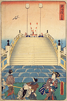
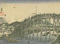
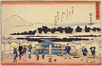
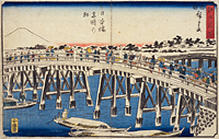
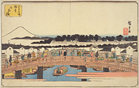
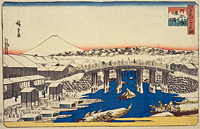
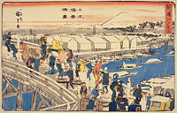
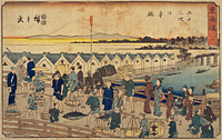
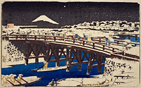
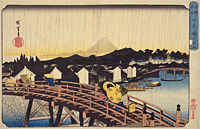
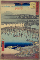
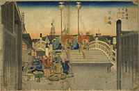
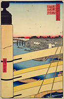
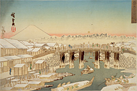
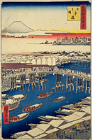
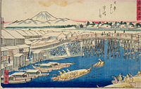
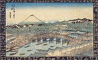
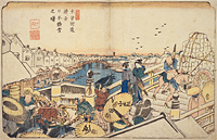
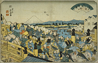
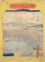
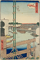
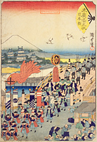
Nihon-bashi Bridge
Back : Find on a modern map Back : Find on a detailed map of Edo Back : Cyuo-ku Back : Tsukiji Hatchobori Nihonbashi-minami ezu Back : Nihonbashi-kita Kanda Hama-cho ezu
- Current Address
- Chuo-ku, Nihonbahi~Nihonbahimuromachi
- Description
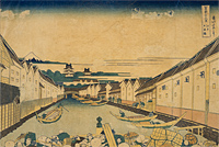
- Refers to both the bridge which spans the Nihonbashi-gawa River and the area centering on the bridge. This was the starting point of the Five Highways, including the Tokaido Highway, and the milestones on those highways were set using this as their origin point, with a Japanese highway starting milestone still on the central steel pylon of the bridge today. The date the bridge was built is unknown, but it was said to have been finished in 1603. Because boat traffic passes under the bridge, the bridge platform was constructed high up on stone walls, forming an arch shape. The area around Nihon-bashi bridge was the center of downtown Edo, and featured the Shogunate government offices, lines of famous stores and was a very active area.
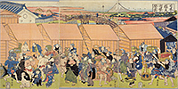
There were fish markets in the areas around Honfunacho and Hon'odawaracho on the north side of Nihon-bashi Bridge which served as a supply of fish for the Shogunate government and developed as the center of Edo's fish business. The fish business was relocated to Tsukiji after the Great Kanto Earthquake.


