日本全国の錦絵・写真等を紹介する新しい電子展示会「錦絵と写真でめぐる日本の名所」を公開しました。
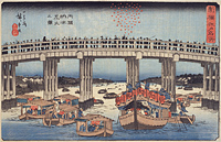
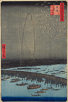
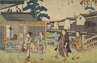
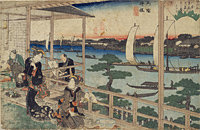
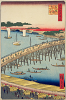
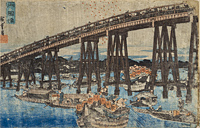
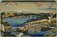
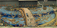
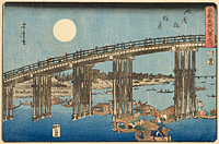
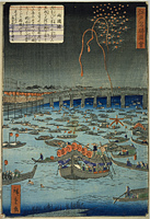
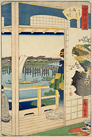
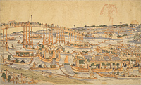
Ryogoku-bashi Bridge
Back : Find on a modern map Back : Find on a detailed map of Edo Back : Cyuo-ku Back : Sumida-ku Back : Honjo ezu Back : Nihonbashi-kita Kanda Hama-cho ezu
- Current Address
- Sumida-ku, Ryogoku / Chuo-ku, Higashinihonbashi
- Description
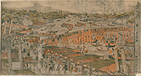
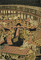
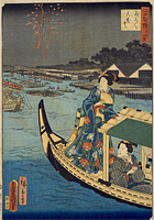
- A bridge built in 1659 as a result of the Great Fire of Meireki in 1657. The position was slightly downstream from the present location. Originally, the bridge was called Ohashi-bridge, however because the Sumida-gawa River was located at the border of Musashi Province and Shimousa Province, it came to be called Nishu-bashi Bridge (two province bridge). Later, because it spanned both provinces of Musashi and Shimousa, it came to be known as Ryogoku-bashi Bridge (two country bridge). Broad streets were established on both sides of the bridge as fire breaks, and the area was prosperous as number one amusement district. The River Festival in Ryogoku in held on May 28, with fireworks being displayed until August 28 during the cool evening periods, enchanting the people of Edo.


