日本全国の錦絵・写真等を紹介する新しい電子展示会「錦絵と写真でめぐる日本の名所」を公開しました。
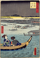
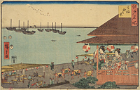
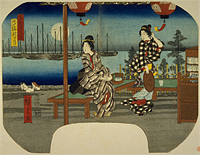
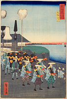
Takanawa
Back : Find on a modern map Back : Find on a detailed map of Edo Back : Minato-ku Back : Shiba Takanawa atari no ezu
- Current Address
- Minato-ku, Takanawa
- Description
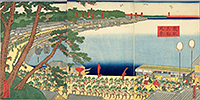
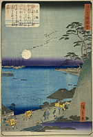
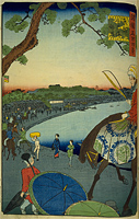
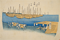
- The name of a region in the eastern part of present day Minato Ward centering on the Tokaido Highway, with Shiba to the north and west and Shinagawa to the south. There are several theories on the origin of the area name including one that says it is an abbreviation of "Takai nawate" (high footpath). It is said that on the 26 day of January and July the image of the three honorable ones, Amitabha Buddha, Kannon and Seishi, can be seen in the moon, and people would wait for the moon to appear and pray during the "Moon-waiting until the Twenty-sixth night", and it is said this was particularly popular along the seaside from Takanawa to Shinagawa. In 1710, the Kido "Takanawa Kido-gate", which separated the area of Edo City from the area outside of the city, was complete and also served as place for posting bulletins. In addition, Ino Tadataka used this area as the base point for his survey of the entire country. Further, the British provisional legation was located at Tozen-ji Temple in Takanawa Nakamachi (present day Minato Ward Takanawa 3 chome) at the end of the Tokugawa Shogunate government.


